back to K/T boundary index page
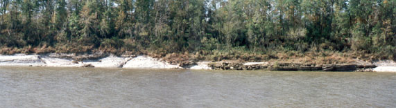
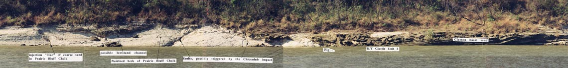
The main faulted channel, at moderate low river level in 1994 (
large image
)
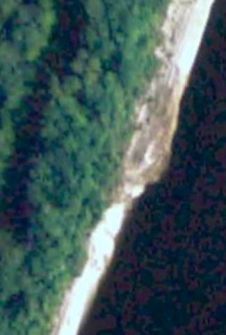
Same channel B on Google Earth