|
Pilbara and Hamersley Ranges |
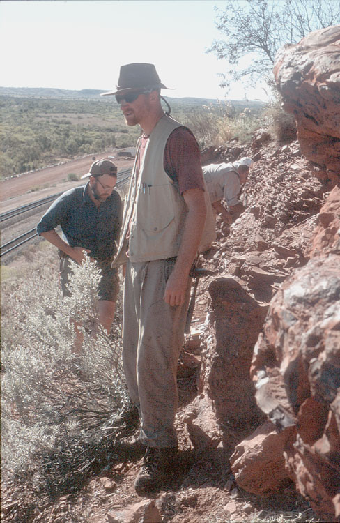
2008 Eendracht expedition Pilbara |
|
|
|
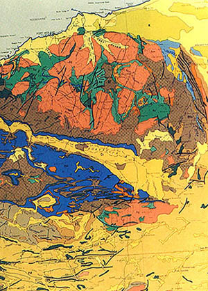
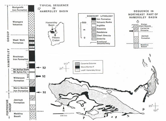
| Pilbara Craton and Hamersley basin |
Pilbara from Space |
|
|
|
| The Hamersley basin covers the Pilbara archean craton in the north, the Pilbara is characterized by granite batholiths and greenstonebelts, so nicely visible in the sattellite image. The Banded iron formations are in Blue | The granite is exposed as batholiths up to a 100 kms (62 miles) in length; these light rocks are diapiric intrusions into the dark greenstones (metamorphosed basalt). To the south is the Hamersley Range (blue area on map) and the smaller Opthalmia Range (red), bordered on the south by the Ashburton Trough (left) and the Bangemall basin (right). Much of the region is marked by hills of low relief; the highest area (1235 m; 4013 ft) is in the Hamersley Range. |
 |
|
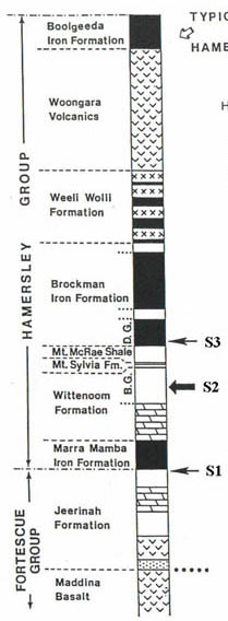 |
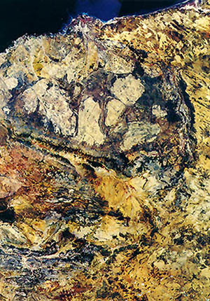
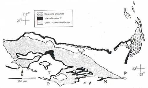
Stratigraphy of the Hamersley group, late Archean to Earliest Proterozoic |
|
|
|
The Hesta site along the Hamersley iron private railroad, July 2001 |
 |