O

Home

Stevns Klint Denmark back to Denmark
  (last updated: May 12, 2020 )
hojerup kulsti
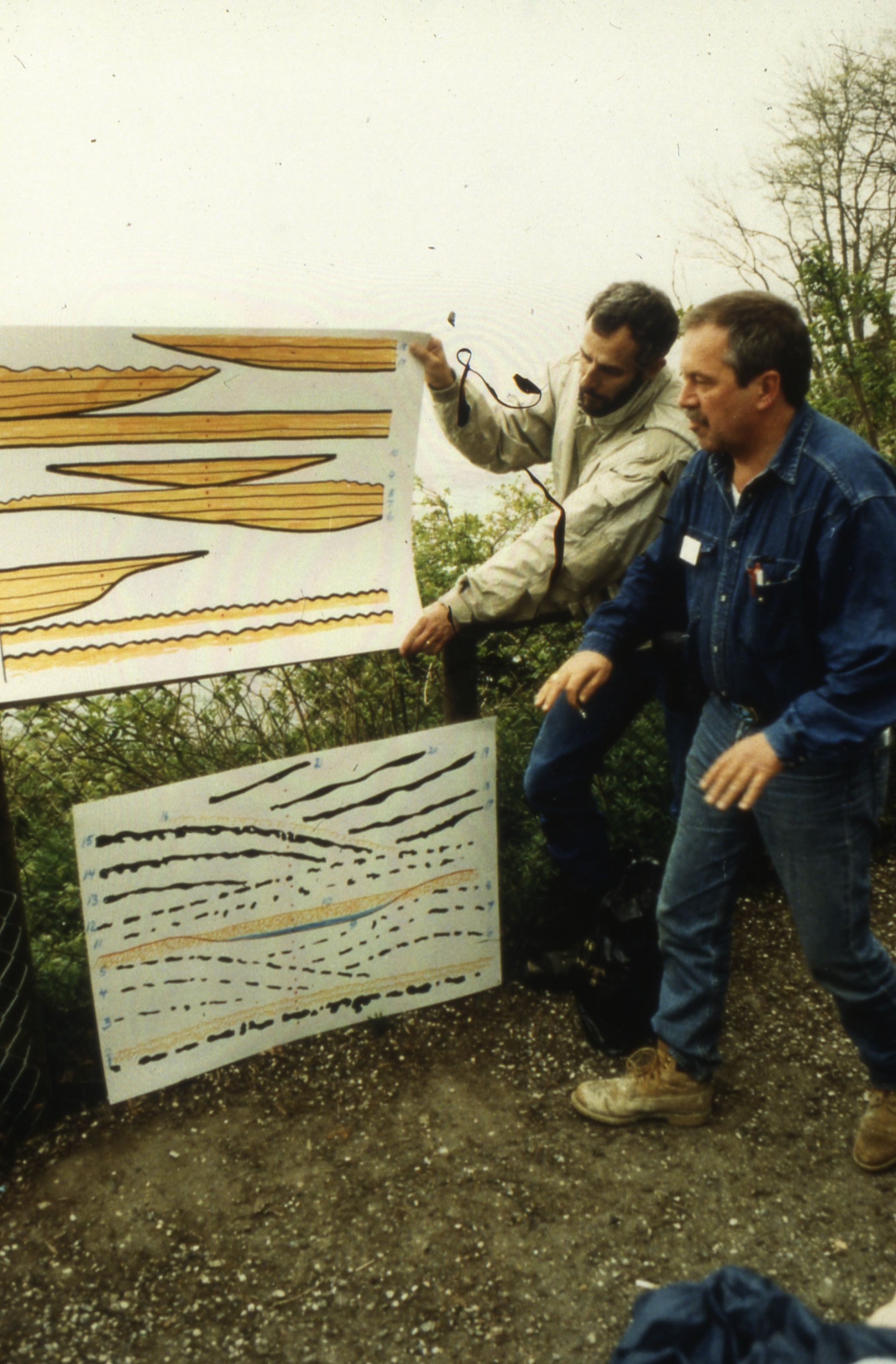
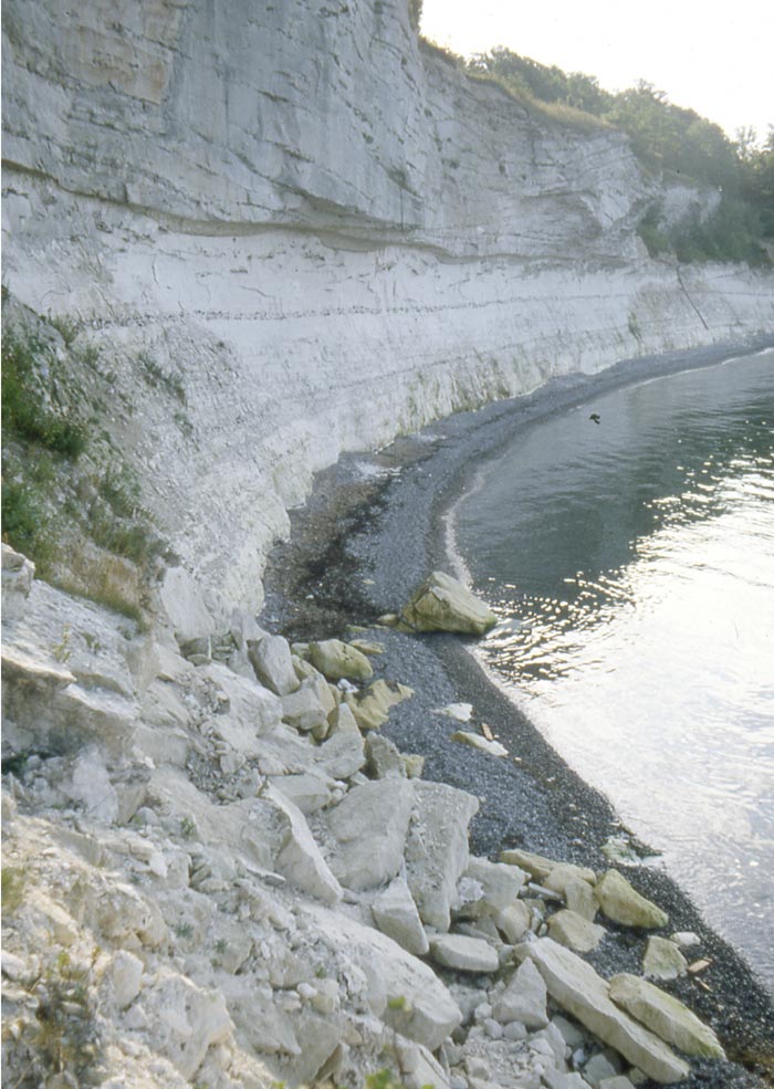
Excursion at the Copenhagen 1979 Cretacous Tertiary Boundary Events symposium Stevns Klint near Hojerup Stevns Klint below the Church of Hojerup

the Fiskeler, as it outcropped in 1979


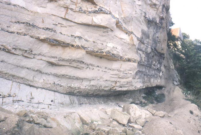
30cm thick Fiskeler at Kulstirenden
Upper Cretaceous
About 10m is exposed of the uppermost Cretaceous white chalk, alternating with black chert layers and nodules. About 2m below the KPg boundary the horizontal bedding changes to shallow mounds, comparable to the larger mound structures in the Danian. The change occurs at a 30cm thick complex chert-nodule layer that may represent a hardground or a hiatus. The composition of the mounds is a mixture of intergrown bryozoans, with coccolith ooze caught in between, and a wide variety of acessory fossils, ranging from echinids to ammonites. Often silicified sponges are preserved still in growth position <here>. The mounds are elongated and form a sort of megawave structure, with a NNW-SSE elongation of the troughs. At Hojerup the troughs and mounds are cross-cut perpendicular to the trough axis. There are two possibilities of the accretion of the asymmetric filling of the troughs. 1) the mounds grow upstream, in the direction of the supply of fresh food, or the the mounds are made of calcareous-clasts, accumulating at the lee-side of a mega-wave structure. Reef-like structures growing in the direction of sunlight are considered unlikely, no photosynthesic organisms involved (corals).
sponge
Sponge in context
 
Sponge in situ, about 15 cm below KPg Map of Stevns klint. Dotted lines are the trough-axes
sponge st
Siliceous sponge about 15 cm below the Fiskeler at Kulstirenden. In situ in a chert nodule. Map from Google earth showing the orientations (stippled) of the troughs between the bryozoan mounds
Fiskeler or Fish-clay
The Fiskeler occupies the lower part of the troughs between the mounds.


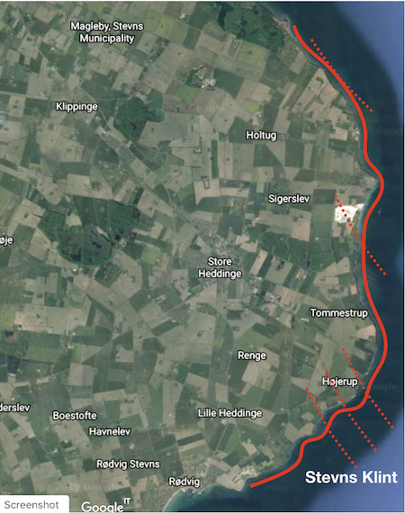
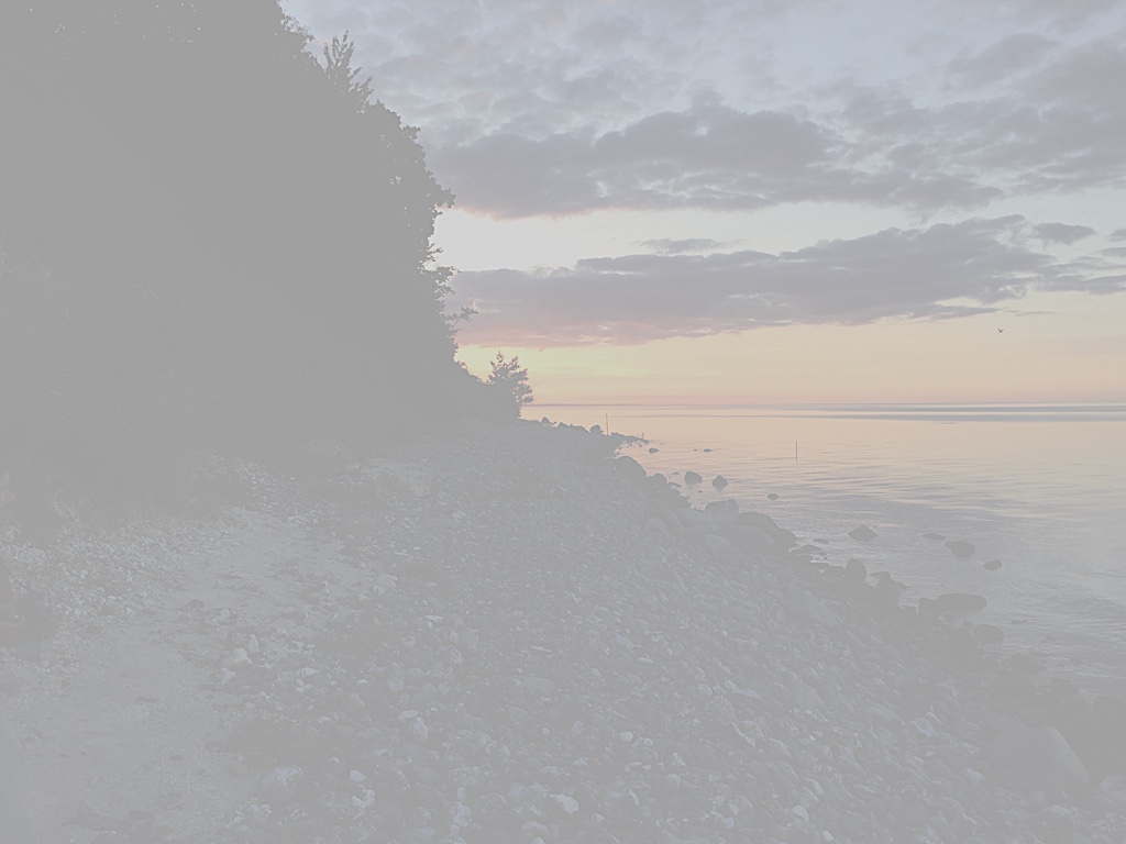
Stevns Klint is a cliff on the coast below Copenhagen where the KPg boundary is exposed over more than 13 km from Rodvig to Kulstirenden.
The cliffs form from bottom to top: about 5-7 m of the topmost Cretaceous chalks, the top 1,5m consist of mounds; 0-30 cm Fiskeler (fish clay); 0-70cm Cerithium chalk; a bored hardground* and 5-10m chalk with bryozoan mounds.

* this hardground is recognized worldwide, see Brazos River, Moscaw landing, Limburg