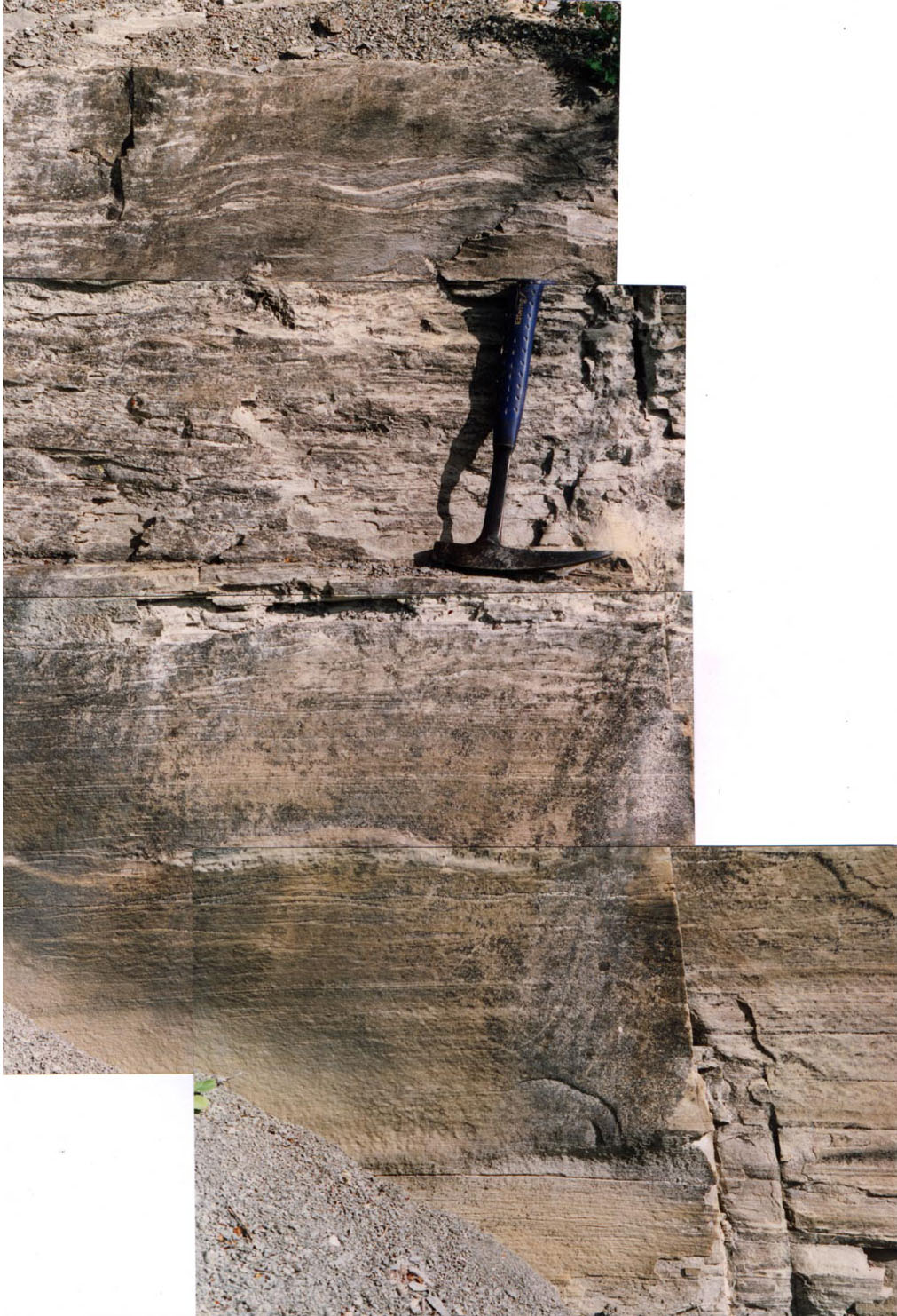
El Mulato, Nuevo Leon, Mexico

climbing ripples, bottom of unit, direction of migration northwest

tation

northwest

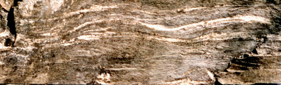
climbing ripples: top of unit, direction southeast top


About 2m thick, continuously deposited sandstone bed with ripple structures and parallel current laminations at the K/T boundary near El Mulato, Mexico.

Climbing ripples are here visible in the top of the sandstone beds (move mouse over image). These ripples migrate to the right, to the south-east, more or less in the direction of the Chicxulub crater (see map) due to backsurge from a tsunami wave. (details below)

This current direction is 180 degrees different from the ripples at the bottom, that are therefore difficult to explain by a simple gravity flow (turbidite), which runs downslope only.
The simplest explanation is probably that these climbing ripples originate under influence of tsunami generated currents.
Upsurge and backsurges generated by the passage of a tsunami can also influence the flow of a turbidite, and might reverse (temporarily) the turbidity current.

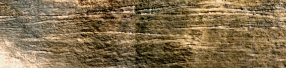
Thin unit of climbing ripples, indicating a current direction from right to left, in a north-westerly (upslope, away from the Chicxulub crater) direction.
These ripples are 180 degree different from the much thicker units of climbing ripples above showing a current direction South-east.
Downslope direction in this area is supposedly in the direction of the Gulf of Mexico.

It is likely that the tsunami surges caused a gravity current, or turbidite, downslope, because lots of sediment became suspended in the water column.
The tsunami surges have probably either intensified the downslope gravity flows (and therefore deposited the dominant, much thicker, downslope climbing ripple sandstone layers), or have stopped, sometimes even reversed at peak upsurges, the turbidity currents. Therefore the current directions in a general north-westerly direction are rarely observed, and form thin beds.
(thus far only observed at La Lajilla, Mimbral, Penon)